Survey and Mapping


Survey and Mapping
Precision mapping for informed project planning and development.
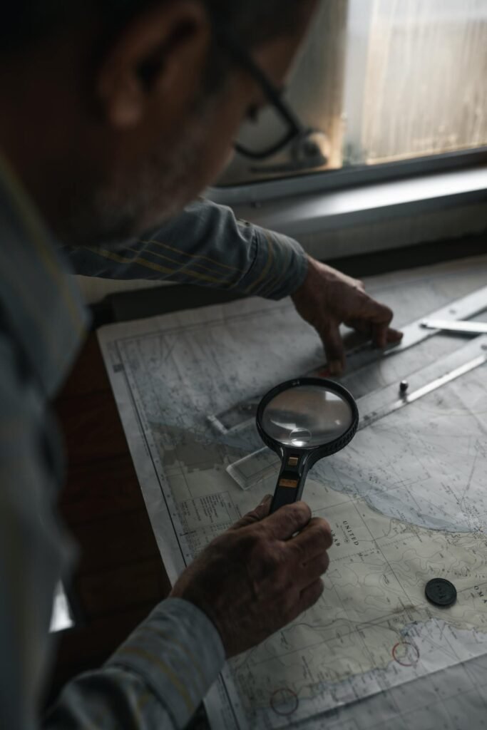
Desh Seba Sangstha (DSS) specializes in complete survey and mapping services to assist with project planning and implementation. Our team conducts extensive Topographic Surveys to collect important data on land features and elevations, ensuring that terrain assessments are accurate. We use GIS mapping to analyze spatial data, which allows us to effectively depict and handle geographic information. This combination of topographic surveys and GIS data improves decision-making, project design, and promotes sustainable development in the communities we serve.

